Blurscape. The push and pull of sprawl
- Dossier
- Apr 24
- 11 mins
Despite its history of compact cities, Europe has evolved into a continent of sprawling urban landscapes, which are in fact complex patchworks characterised by a variety of incongruous land uses. The neat division between city, suburb and countryside becomes increasingly less meaningful. Instead, “blurscapes” emerge, the result of all kinds of urban pushes and rural pulls.
Thirty years ago, in the essay “Whatever Happened to Urbanism?” (1994), Rem Koolhaas defined sprawl – without explicitly using that term – as both a symptom and a cause of urbanism’s ineffectiveness. He proclaimed the demise of urbanism at the exact moment when urban planners were attempting to rescue their discipline by reverting to the urbanity of the traditional European city: “For urbanists, the belated rediscovery of the virtues of the classical city at the moment of their definitive impossibility may have been the point of no return, fatal moment of disconnection, disqualification. They are now specialists in phantom pain: doctors discussing the medical intricacies of an amputated limb”.[1]
In the same piece in S, M, L, XL, Koolhaas painted a bleak picture with broad strokes, depicting “a world without urbanism, only architecture, ever more architecture… In our more permissive moments, we have surrendered to the aesthetics of chaos, of ‘our’ chaos… If there is to be a ‘new urbanism’ it will not be based on the twin fantasies of order and omnipotence; it will be the staging of uncertainties”.[2]
In retrospect, both the moment Koolhaas described and his description can be seen as indications of a triple shift: a shift in attention, from the city centre to the periphery; a shift from confidence in the applicability of lessons learned from the traditional European city to an indifferent resignation to a “whatever” urbanism, acknowledging that urban design is incapable of “solving” anything outside the context of the traditional city; and a shift from engaged urban design to dispassionate urban observations.
Whereas the traditional European city has served as inspiration for a range of unbuilt and built postmodern projects, from Roma Interrotta in 1978 to IBA 1987 Berlin, and Barcelona 1992, the sprawling blurscapes beyond the conventional city limits have failed to inspire similar endeavours. They have not generated a specific design approach, only ways of seeing, from Marc Augé’s non-place (1992) to Ignasi de Solà-Morales’ terrain vague (1995), from Paolo Desideri’s città di latta (1995) to Mirko Zardini’s hybrid landscapes (1996), and from Thomas Sieverts’ Zwischenstadt (1997) to the Annähernd perfekte Peripherie of Mario Campi, Franz Bucher and, once again, Zardini (2001).
These were all theoretical projects aimed at better understanding, in the words of Zardini, “the vast urbanized territory” which “we call periphery, città diffusa, banlieue, suburb…”[3] None of these projects propose sprawl as an exemplary design template, and there seems to be little hope that sprawl could be contained or channelled into a more desirable form.
Agricultural scatter
These new ways of seeing (and labelling) sprawl mark a cultural moment at the end of the last century, but neither the phenomenon nor the attention to it were entirely new. A case in point is the article written by German-British architect and planner Gerhard Rosenberg back in 1952 for The Town Planning Review. Rosenberg’s “The Pattern of a ‘Civilised’ Countryside” deals with the transformation of the English countryside. The use of the term “sprawl” in this piece implies that the magazine’s professional readership must have been quite familiar with the phenomenon: “No doubt the lowland villages are beautiful and vital, no doubt ribbon development was deadly both socially and aesthetically in many instances, no doubt scattered development has done much to spoil the countryside and has made exaggerated demands on the nation’s resources in the interest of a very small minority who insist on being supplied with water, electricity and the telephone. And yet, it should not be beyond the power of our imagination to emulate our forbears in finding a pattern that is using – and not only pruning – such strong and organic tendencies as urban sprawl and ribbon development on the one hand, and agricultural scatter development on the other hand”.[4]
Rosenberg’s view seems outdated in his belief that design could solve the situation, yet his take is strikingly advanced where he did not just consider sprawl an urban phenomenon but, presciently, also identified an agricultural sprawl as a kind of “agriculturalization”, a densification, intensification and urbanisation of the countryside through agro-industrial activities.
In this respect, his interpretation predates Neil Brenner’s concept of planetary urbanisation, which is the ultimate consequence of the disappearance of the distinction between city and countryside.[5] Brenner claims that there is hardly any place on Earth that is not functionally connected to the urban system. It’s a planetary urbanisation that erases the artificial distinctions between city and countryside, between urban and rural, between core and periphery, and between formally planned cities, and less controlled, chaotic sprawl.
Suburb and sprawl
Even if urban sprawl does not resemble a city, it does not mean all these built environments, which seemingly lack a beginning or end, do not adopt an urban nature. True, sprawl tends to be less dense than the central parts of many cities, and it may show fewer obvious signs of public life between buildings and may not even have pavements, let alone a square or a parkette. These suburbs may lack tight-knit urban fabrics and communities, or the recognisable structure and form we find in cities. But still, it is called urban sprawl for a reason, no matter how inferior it is deemed to be in comparison to the urbanity of “real” cities.
It would be a misconception to think that there is no system in the recklessness of sprawl. It certainly does have forms and patterns and its own logic.
It would be a misconception to think that there is no system in the recklessness of sprawl. It certainly does have forms and patterns and its own logic. Anyone who says sprawl is formless probably means to say it has urban forms they do not like. In the thinking of many city-minded people, urban sprawl occupies a comparable place as the suburbs it has mostly overtaken. Just as we consider suburbs – if its prefix is taken literally – to be urban (at best), sprawl is rarely seen as truly urban either.
Sprawl and suburb are different animals, though. First of all, there is a difference in appreciation. A significant share of the population seems to genuinely like suburban lifestyles and would neither want to live in the middle of the city nor in the middle of nowhere. By contrast, nobody appears to long for living in a sprawling environment. In addition, there is – or perhaps I should say: was – a clearly identifiable idea behind the concept of suburb, even if not all suburban developments are a successful reflection of it. Like the original model of Ebenezer Howard’s garden city, the suburb, ideally, was meant to combine the advantages of both the city and the countryside.
However, sprawl is urbanisation devoid of a clear idea. Or maybe it is better to say: devoid of one clear idea. Sprawl is the net result of many different ideas, the inadvertent but unavoidable outcome of hundreds, thousands of individual, contradictory, sometimes even irreconcilable decisions. It is kind of urban but not like a traditional city, it may have a suburban density but is very different from the emblematic residential landscapes of identical detached houses, with neat front lawns, and double and triple garages. And more fundamentally, whereas suburbs are the dependents of cities – for work, leisure, culture –, sprawl does not need a city per se. Even if it sounds tautological, sprawl just needs space to sprawl, and it is not just the one-directional process of urban dilution, but in line with Rosenberg’s prescient observation, also can entail agricultural concentration.
Grid cell densities
Enter Eurostat statistics, which refrain from using the term sprawl. Like in almost any other field, European bureaucrats have a fascinating detached view of what the urbanised territory could entail. For them it starts with the degree of urbanisation, or DEGURBA, one of many acronyms of the European Nomenclature des Unités Territoriales Statistiques (which has its own acronym as well, NUTS). They use three basic categories: urban, rural and intermediate density, the latter officially labelled as “town and suburb”. While the urban form of a town differs fundamentally from that of a suburb, from the statistical point of view, they are both simply places of intermediate density, where “less than 50% of the population lives in rural grid cells and less than 50% of the population lives in urban centres”.[6]
The grid cell is another marvellous example of Euro-bureaucratic detachment. Irrespective of topography, culture and national borders, Europe is divided into cells of one square kilometre, for which the degree of urbanisation has been established. Of course, it is not as simple as that. Urbanity requires a “high-density cluster” of grid cells: with a density of at least 1,500 inhabitants per square kilometre and a total population of at least 50,000 inhabitants. Similarly, towns and suburbs require one-square-kilometre grid cells each with at least 300 people and adding up to a minimum total of 5,000 inhabitants. Everything below this threshold is rural, unless nobody is living in a square at all, when it is for instance natural landscape, or industry, harbour, airport or any kind of infrastructure.
Following the logic of the population density grids, in 2021, 38.9 percent of European Union (EU) citizens were living in a city, 25.2 percent in rural areas and 35.9 percent in towns and suburbs.[7]
Venn diagram
Density and grid clusters are only one side of the story. Eurostat also looks at Functional Urban Areas (FUAs), the amalgamation of urban centres – of 50,000 or more inhabitants – and their commuting zones, which qualify as such if at least 15% of the population is commuting to work. The FUAs show how pervasive European urbanisation is, with around 800 cities across the EU, home to 40% of the population, surrounded by nebulas of commuting zones, home to another 20%.[8]
But the FUAs do not reveal anything about their urban form, which often cannot be reduced to Eurostat’s ternary grid cells, which are either urban, suburban or rural (or void). For instance, just more than half of the Netherlands consists of agricultural land (54%). However, functional urban areas cover approximately 70% of the country’s territory. This means that, in a Venn diagram of the country’s land use, around 30% of the Dutch territory is simultaneously urban or suburban, and rural. This land of mostly urban sprawl and rural scatter is not the often-idealised countryside of tranquil, simple living close to nature. Rather, it is home to people, staggering numbers of animals for human consumption, a highly polluting agro industry, but also to a range of activities such as industrial plants, solar farms and distribution centres.
Push and pull
While it is an idée reçue that North America is the biggest sprawler, the contradictory reality places Europe as the true leader in this regard. The European Environmental Agency concluded in its 2006 Urban Sprawl in Europe report, based on data from the Monitoring Land Use Dynamics project (MOLAND), that “historical trends, since the mid‑1950s, show that European cities have expanded on average by 78%, whereas the population has grown by only 33%. A major consequence of this trend is that these cities have become much less compact. The dense enclosed quarters of the compact city have been replaced by free-standing apartment blocks, semi-detached and detached houses”.[9] The report continues with: “In half of the urban areas studied in the MOLAND project, more than 90% of all residential areas built after the mid‑1950s were low-density areas, with less than 80% of the land surface covered by buildings, roads and other structures”.[10]
Recent research by Martin Behnisch, Tobias Krüger and Jochen Jaeger underscores this dispersion, finding that overall urban sprawl had increased globally by almost 100% in 25 years from 1990 to 2014, and most strikingly that “urban sprawl at the continental scale in 2014 was higher in Europe than in North America”.[11] Breaking it down by region, the most sprawling parts of the world are Western Europe, Southern Europe and Northern Europe. Northern America is fourth, directly followed by Eastern Europe.
Europe is increasingly defined by a double tendency of urban push and rural pull. The net result of which is a range of urban and rural phenomena that play out at the edges of towns and cities, continue in the neighbouring suburbs, affect the surrounding periphery, determine the peri-urban and exurban and transform agricultural land. This blurscape may be disliked by many; its urban forms might defy any conventional categorisation, but it is certainly here to stay.
References
[1] O.M.A. Koolhaas, R. i Mau, B. S, M, L, XL [Small, Medium, Large and Extra Large], 963. 010 Publishers, Rotterdam, 1995.
[2] Ibíd., p. 967-969.
[3] Zardini, M. “Premessa”. Paesaggi ibridi: Un viaggio nella città contemporanea, 17. Skira, Milà, 1996.
[4] Rosenberg, G. “The Pattern of a ‘Civilised’ Countryside”. The Town Planning Review, 23, 1, 61. Abril del 1952.
[5] Brenner, N. J. (ed.). Implosions/Explosions: Towards a Study of Planetary Urbanization. Jovis, Berlín, 2014.
[6] Eurostat. Urban Europe: Statistics on cities, towns and suburbs, 25. Publications Office of the European Union, Luxembourg, 2016
[7] “Urban-rural Europe: Introduction”. Eurostat. via.bcn/7hFl50Qzuz1
[8] The commuting zone echoes the old idea of the suburb as a bedroom community, for workers who have their jobs elsewhere, in the city. Yet, according to 2019 figures, more than forty percent of the working population in the EU sometimes or always worked from home.
[9] Urban sprawl in Europe. The ignored challenge, 11. Office for Official Publications of the European Communities, Luxembourg, 2006.
[10] Ibíd.
[11] Behnisch, M., Krüger, T. and Jaeger, J. A. G. “Rapid rise in urban sprawl: Global hotspots and trends since 1990”, PLOS Sustainability and Transformation, 1, 11, 8. November 2022. via.bcn/72OY50QzuA2
Recommended reading
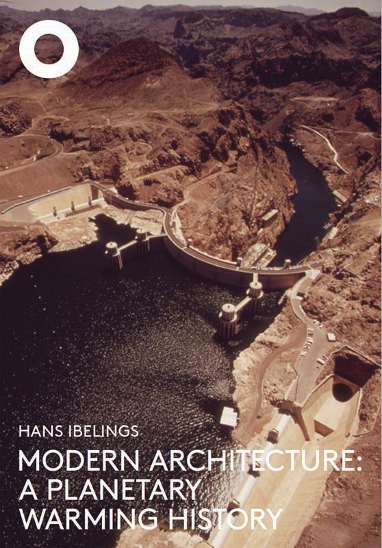 Modern Architecture: A Planetary Warming History The Architecture Observer, 2023
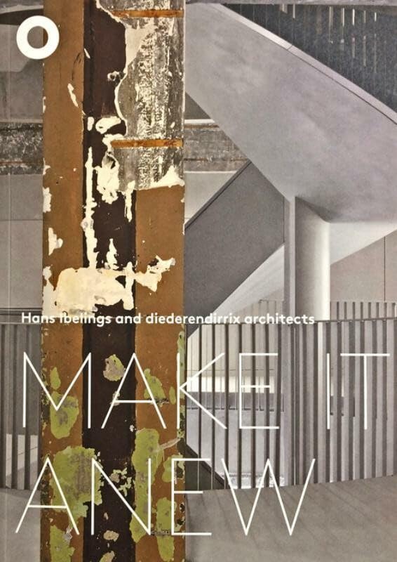 Make It Anew Hans Ibelings and Diederendirrix Architects The Architecture Observer, 2018
 Rise and Sprawl: The Condominiumization of Toronto The Architecture Observer, 2016
The newsletter
Subscribe to our newsletter to keep up to date with Barcelona Metròpolis' new developments


